Will help Google users with improved GPS.
By Dileep Thekkethil
BENGALURU: ISRO will launch Google’s Sky Box Imaging satellite for advanced GPS mapping by the end of this year, according to a report in the Asian Age.
The launch of Google’s GPS mappings satellite will be ISRO’s first collaboration with a US agency. Earlier Google had acquired the satellite imaging company Sky Box Imaging and it was said that the search engine giant wants to develop its own GPS mapping solution by using a network of 180 satellites.
According to the report, the satellite will be launched from the launch pad located in Sriharikota before the end of this year. Google’s satellite will be launched along with one of India’s own satellite which is scheduled to launch later this year.
Google plans to use the high-resolution pictures sent by Skybox for better earth imaging. This will offer google users improved GPS with better precision and real-time images on Google map.
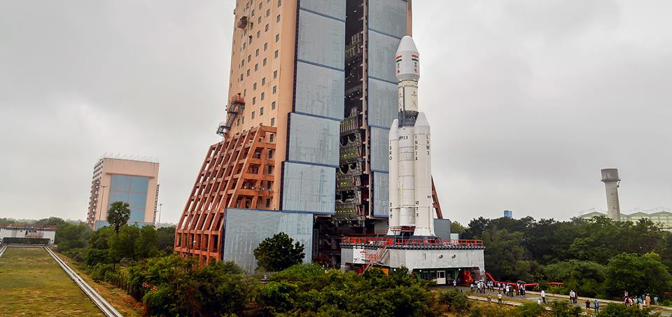
ISRO had successfully launched a Geosynchronous Satellite Launch Vehicle on December 2014, the biggest space rocket it has ever built, capable of carrying heavy loads to the space including communication satellites and even astronauts in a capsule.
In addition to the above-mentioned features, Google is also planning to use the Skybox satellite for improving internet access and disaster relief.
Sky Box had earlier entered into an agreement with Antrix Corporation before its takeover to launch the 120-kg satellite.