
Bill will be introduced in Parlianment.
By Sreekanth Nair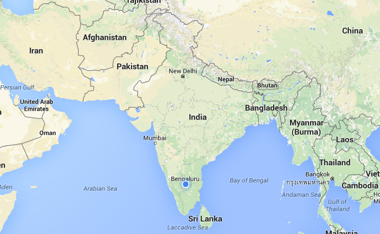
The Government of India will impose a fine of up to $14.7 million and imprisonment up to seven years for the wrong depiction of the map of India, reported Press Trust of India.
The government is planning to enact “The Geospatial Information Regulation Bill 2016” soon that intends to control the use of all kinds of geospatial imagery or data.
Recently, Twitter had shown some parts of Jammu Kashmir in China and Pakistan. Several similar instances have been reported all over India where the map of India was wrongly depicted. The government has decided to introduce a new law after considering all the cases.
The draft of the act has been prepared and is expected to introduce in Parliament soon.
According to the draft bill, “no person shall depict, disseminate, publish or distribute any wrong or false topographic information of India including international boundaries through internet platforms or online services or in any electronic or physical form. Whoever acquired any geospatial information of India in contravention of the law shall be punished with a fine ranging from Rs 1 crore (Rs 10 million) to Rs 100 crore (Rs. 1 billion) and or imprisonment for a period up to seven years.”
Once the law comes into force, it will be mandatory to get permission from the government authority before acquiring, and publishing any geospatial information of India.
The bill also proposes a Security Vetting Authority to examine the application of any person or institution seeking permission to publish any geospatial information of India. The three-member committee will have an officer of the rank of Joint Secretary to the government of India or above as chairman, and one technical expert and one national security expert.
Any person who wants to acquire, disseminate, publish or distribute any geospatial information of India, may make an application along with requisite fees to the Authority for security vetting of such geospatial information and license thereof to acquire, disseminate, publish or distribute such Geospatial Information in any electronic or physical form,” the draft bill says.
The Security Vetting Authority has the power to issue license or reject the application after scrutiny.